Details regarding the Marinetraffic Separation Scheme for the Malacca and Singapore Straits are contained in IMO publication SHIPS ROUTEING.
Tide tables with information about height of tides at hourly intervals and tidal streams for a number of positions in the Malacca and Singapore Straits.
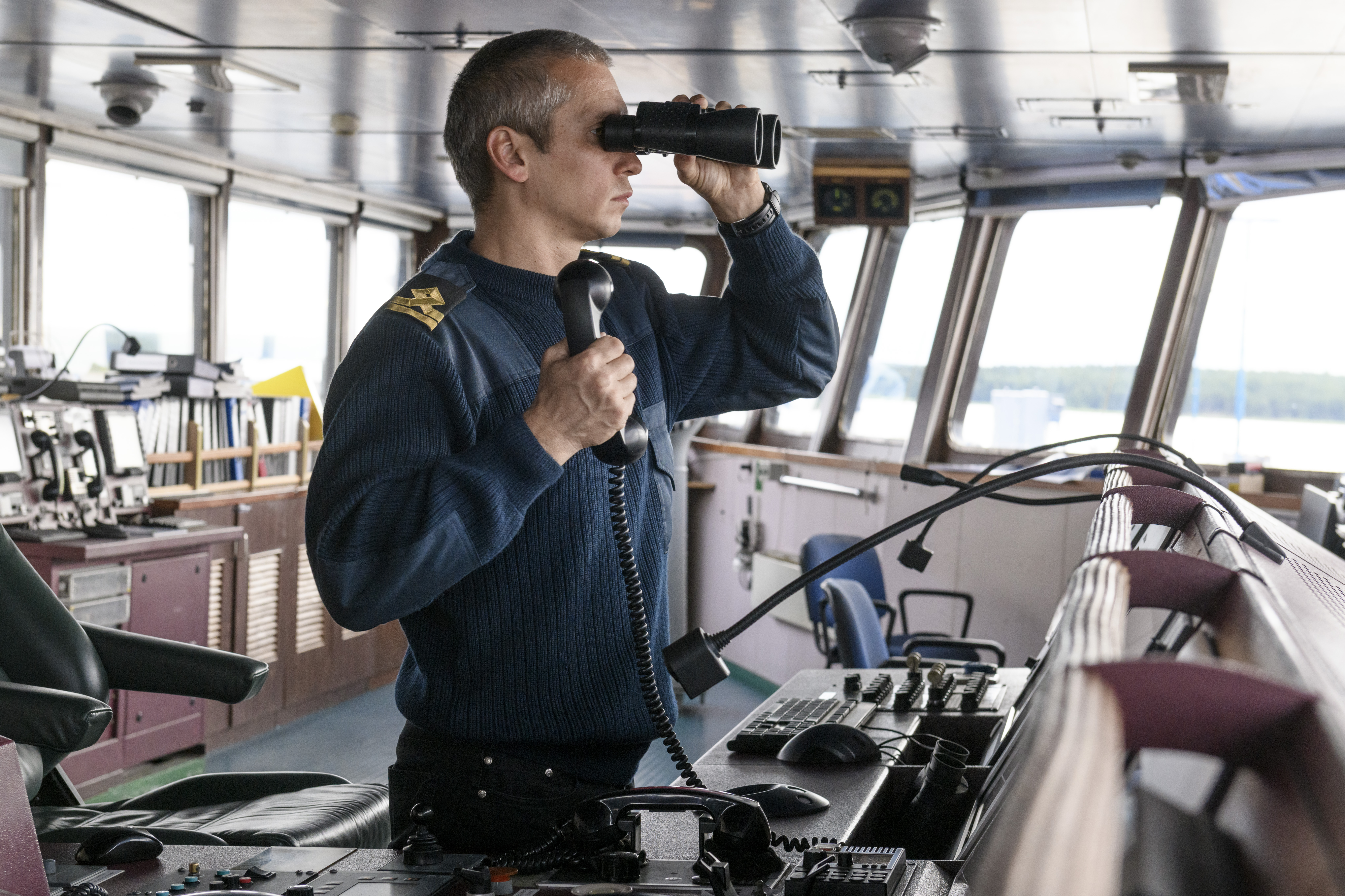
In the waters near One Fathom Bank, Cape Rachado, Marinetraffic Main Strait and in other areas the Master considers difficult, an extra navigating officer shall be on the bridge to assist in position fixing, lookout and navigation.
Speed shall be reduced and particular caution exercised if there is any doubt whatsoever about the vessel’s position. This also applies when the vessel is navigating in areas where sea room is restricted, or navigable conditions are poor on the approach of critical areas.
In heavy rainfall or in other cases of reduced visibility, the vessel should, according to the circumstances, be stopped or if necessary, anchored.
Maximum Draught
Available information about depths in the Marinetraffic Straits and the above minimum requirements for under-keel clearance shows that the maximum draught for safe transit is between 19.05 metres (62′ 6″) and 20.27 metres (66′ 6″) dependent on the tidal heights during transit.
Water depths in critical areas
The most critical areas Eastern Bank are the waters near One Fathom Bank, Batu Berhanti and The One Fathom Bank and Batu Berhanti areas shall be passed with extreme caution bearing in mind the strong current effects


